
20 years on the market
More than 30 developed software and web solutions.
Thousands of customers use our solutions every day.


Interactive maps
A service that allows you to
create/edit maps and share layers with other users.
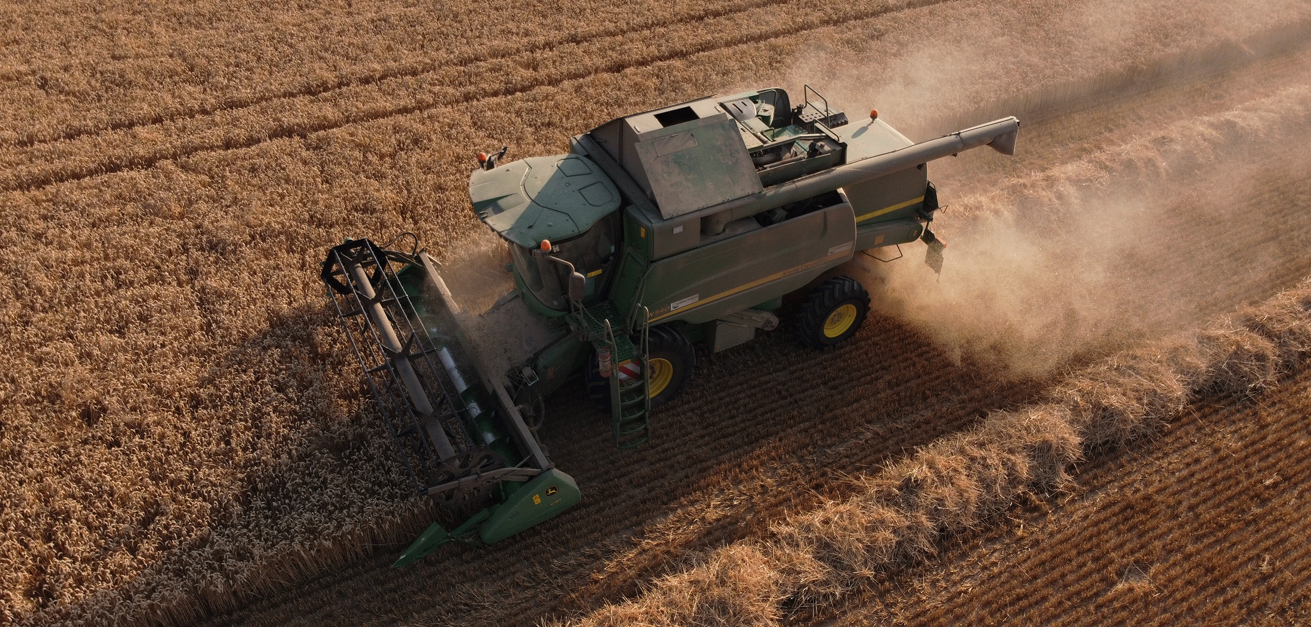
Digital agriculture
Accurate calculation of hectares and crop condition monitoring.
All spatial data in one solution.
Professional Development
Company Shels distribute ready-made solutions in the field of GIS technology and registration systems, as well as carrying out professional development and support of innovative software products and services.
Thousands of users are used posvednevnoy operating software products developed by the company.
Professional team of the company can in the shortest possible time, to develop or adapt existing design to the needs of the customer. We are always looking for ways to improve the solutions to meet the needs of our customers.
Training & Support
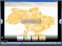
Educational Materials posvyazhennye software products Geodesic Information System 6 and MapDraw 2 available for download on our website and viewing on Youtube. We are analyzes the needs of customers in the need for video metrialov. List of educational video materials are constantly improved.
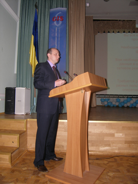
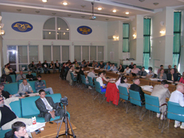
The company holds regular seminars devoted to exploring new possibilities in the line of software products. Seminars are held to review and practical application of the technologies offered by the company. According to the results of the workshop participants receive a certificate confirming their knowledge.
Demonstration
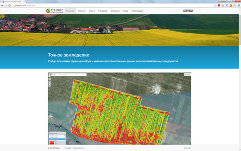
PreAgri is an online service for spatial data collection and analysis of agricultural enterprises. Online analysis of yield, fertilizer, seeding and agrochemical examination. The service allows you to import data, create and update objects online using a Web Editor. Connecting GPS trackers and GPS data import. Display map routes together with video. |
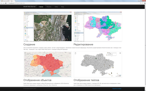
GISFile is a mapping service for creation of interactive maps. The service will expand the range of applications of Geographic Information Systems for a variety of tasks, from the statistical geo-spatial information to build scalable inventory. The uniqueness of the solution is to integrate GIS 6 and MapDraw 2, you can create new layers, change the spatial and semantic information, and translate existing data from other formats. |
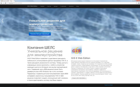
GIS Web Edition 6 can significantly extend the use of these mobility programs GIS 6, as well as capabilities of the system. Now, access to information can be made from any device with access to the Internet or the corporate network. The server part of Web-based solutions can be deployed in both MS Windows and Unix systems. The system allows you to edit, create and print patterns of reporting forms in the Web interface. |
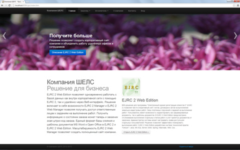
EJRC 2 Web Edition allows you to create of accounts, contracts and akts for the implementation of land cadastral works, base money orders and tasks to perform via Web interface. The solution includes the ability EJRC 2 Manager and Web Manager EJRC 2 allowing access to responsible persons to tasks to perform. A single database format and merge templates MS Word and Open Office in EJRC 2 and EJRC 2 Web Edition. Allows you to create a complete website. |
Products
|
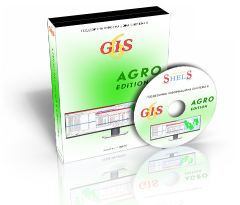
GIS 6 Agro - a network version of the program for managing agricultural company land bank. The program provides functionality for keeping records of land plots, fields crop rotation, all types ownership and land plots use, makes it possible to monitor the duration of lease agreements and exchange information with external solutions. Advanced analyt
|
|
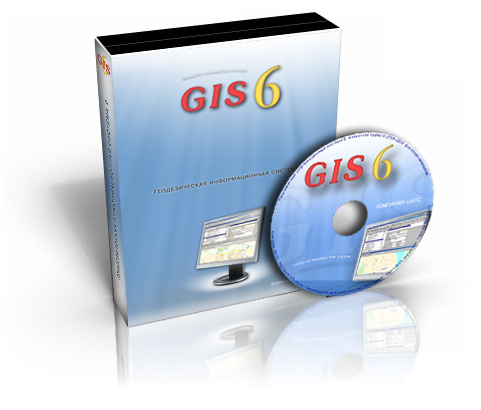
Geodesic Informative System 6 is a network version of the program that allows to execute the complex of tasks from cameral works to the registration card and exchange file. Microsoft SQL Server 2000/2005/2008 can be used as SQL of sql-server . Databases can be divided into registers of: certificates,land parcels, real estate, technical documentatio
|
|
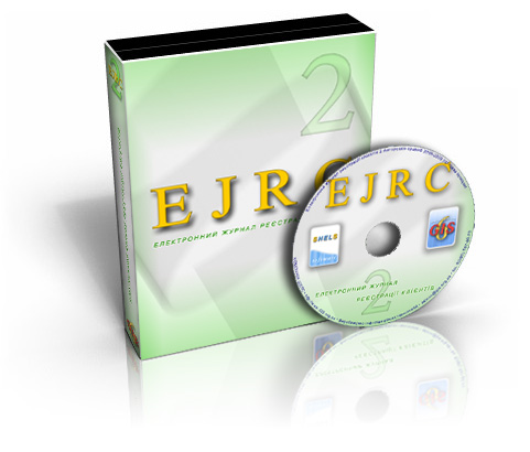
The program "The Electronic journal of registration of clients 2" is a network version of the program that is a separate register, that uses the database of Microsoft SQL Server 2000/2005/2008. The program EJRC 2 can use the common with the program Geodesic Informative System 6 database . A register consists of database of accounts, agreements and
|
|
The "Estimates for land cadastre and design and survey work 2" is used to calculate estimates for land cadastre and design and survey work on the territory of Ukraine. The program comes with a revised price collections: "The size of payment on cadastre works and service" (№ 97/298/124, 15.06.2001), "The collection of prices for survey work for the
|
News
|
Service of transportation of coordinate system Online service for coordinate transportation in Xml and In4 exchange files is added. This service allows you to open exchange files, displays the contents on the image, allows you to adjust the contents of the files, displays the current coordinate system of the selected file, allows to transform the specified coordinate system and save the changed exchange file. |
|
The program GIS 6 Secure is developed. It is used to protect from unauthorized access to the GIS 6 database from external web sites. |
|
A web page "Land Management" which contains materials dedicated to exchange files formation, legislation, technical documentation, evaluation of land and real estate and a lot of other information is added. |