SEMINAR-TRAINING GEODETIC INFORMATION SYSTEM 6
28-29 april 2011
venue of Kharkov, st. Lermontov, 7
(Healthful complex "Marine Club")
Hosted training seminar "Geodetic Information System 6", which was devoted to the formation of the exchange File land cadastral information in the format XML, in According to the Decree of the State Committee of Ukraine for Land Resources № 573 of 02.11.2009 „On the approval of Requirements to the structure, content and format of the results of works with land management in electronic form (exchange file)”, processing measurements and study of opportunities mapping module MapDraw 2 commercially available program GIS 6.
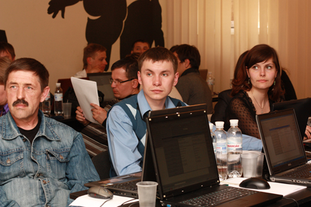
This is the fourth seminar who spends ShelS Company." The main purpose of these training seminars - to generate practical skills program GIS 6. More than 30 participants presented Kharkiv, Poltava, Kiev, Dnipropetrovsk region. During the workshop, each participant will received theoretical and practical skills in program GIS 6, as well as the nominal Certificate, confirming the acquired knowledge.
ORGANIZATIONAL ISSUES
Date: 28-29 april 2011.
Event venue: Ukraine, Kharkov, st. Lermontov, 7 (Healthful complex "Marine Club" 1st floor)
Terms: classes focus on hands-on learning work program GIS 6
The cost of participation: one day of participation - 500 UAH
1 participant, the participation of two days - 800 UAH for 1 participant. For the second and third members of the same organization discount - 5% and 7%, respectively.
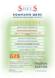
The price includes: participation in training seminar, training materials, CD with training materials and Certificate
SEMINAR SCHEDULE
| 15.05.2019 | 16.05.2019 |
|---|---|
| 09:00-10:00 - arrival participants, registration; | 10:00-18:00 - holding training workshop with a break; |
| 9:00-17:30 - holding training workshop with a break; | 17:30-18:00 - leaving participants. |
SEMINAR MATERIALS
PROGRAM SEMINAR
Day 1
1. Familiarization with the list of information required to create a file
XML
2. Create and import land plots
3. Filling information about land rights and subjects
4. Verification of inventory information
5. Formation exchange file cadastral and land information in the format XML
6. Checking file exchange land cadastral information in the format XML
7. Print the technical documentation of the cadastral plan, the land book
Day 2
1. Analysis of the measurements in the "Calculation and adjustment theodolite traverses and pickets"
2. Fundamentals in the "Cameral function ..."
3. Designing land plots
4. Creating situational plans
5. Introduction to the basics of mapping module "MapDraw 2"
6. Connection of layers program GIS 6 and outer layers in the format Shp
7. Connecting and coordinating bitmaps
8. Connecting to server space images GoogleMap
OTHER MATERIALS
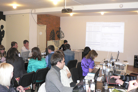
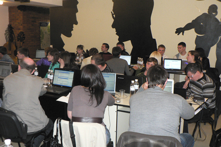
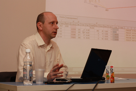
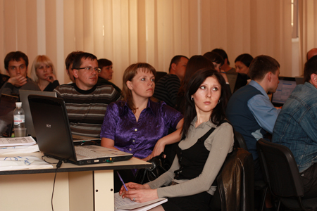
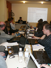
SEMINAR PHOTO MATERIALS