SEMINAR-TRAINING GEODETIC INFORMATION SYSTEM 6
17-18 october 2013
venue of Kropyvnytskyi, st. Ordzhonikidze, 7, rm. 501
(Business-Centre "Elvorti")
The first day was devoted to reviewing the features of the program GIS 6; imports measurements of GPS-eceivers
and total stations; treatment measurements in the "Calculation and adjustment theodolite traverses and pickets"; creation of land;
completing the data subjects rights, restrictions, easements, leases;
general information about the window "Cameral
function",
working with layers and tools; create contour plot, plan and
balance check areas; creation subcontractors, setting display
pattern; creation of easements and restrictions (polygons with internal
contours), coordinate transformation, configuration and mapping of land
sections with different coordinate systems. On the second day of the seminar
participants learned about the mapping module "MapDraw 2“;
connecting local server layers and satellite images GoogleMap; creation
layer "Internet-map"
and display Public cadastral maps;
connecting zakoordinirovannyh rasters to the project and the current search
area map. This seminar also addressed general
information about the exchange file format XML; import and
export exchange files XML;
setting and checking of export exchange files XML. Special attention
was given to innovations in the Order of the State Committee № 323 from 08.09.2013
and issues relating to Decree of № 1051 from 17.10.2012. Participants were able to personally see and evaluate the latest development ShelS Company

ORGANIZATIONAL MATTERS
Date: 17-18 october 2013.
Event venue: Ukraine, Kropyvnytskyi, st. Ordzhonikidze, 7, rm. 501 (Business center "Elvorti")
Terms: classes focus on hands-on learning work program GIS 6, therefore work more efficiently participants, it is desirable to take seminar-training notebook
The cost of participation:
At
paid until 30.09.2013, one day of participation - 350 UAH for 1 person;
two days of participation - 600 UAH for 1 person. At payment in the first half
October, one day of participation - 450 UAH for 1 person, two days of participation -
800 UAH for 1 person.
The price includes: participation in training seminar, training materials, CD with training materials and Certificate
SEMINAR SCHEDULE
| 17.10.2013 | 18.10.2013 |
|---|---|
| 09:00-10:00 - arrival, registration of participants; | 10:00-18:00 - conducting a training seminar with a break; |
| 9:00-17:30 - conducting a training seminar with a break; | 17:30-18:00 - departure of participants. |
SEMINAR MATERIALS
PROGRAM SEMINAR
Day 1
1. Overview of the program GIS 6
2. Import measurements from GPS-receivers and total stations
3. Analysis of the measurements in the "Calculation and adjustment and theodolite traverses
pickets"
4. Creating land plots
5. Complete data on the subjects of rights, restrictions, easements,
rental
6. Understanding the "Cameral function", work with layers and
tools
7. The contour plot, plan and balance check areas
8. Create subcontractors, customize the display picture
9. Creation of easements and restrictions (polygons with internal circuits)
10. Coordinate transformation. Configuring and mapping of land
sections with different coordinate systems
Day 2
1. Introduction to the basics of mapping module "MapDraw 2"
2. Connecting Local layers and server space images GoogleMap
3. Create a layer "Internet card" and cadastral mapping Public
cards
4. Connecting raster coordinated the project and the current search
area on the map
5. General information about the interchange file format XML
6. Import and export exchange files XML
7. The export setting and check exchange files XML
8. Questions and answers relating to Regulation 1051
9. Talk innovations in Order № 323
10. Backing up the database
11. Demonstration GIS 6 Web Edition
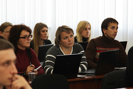
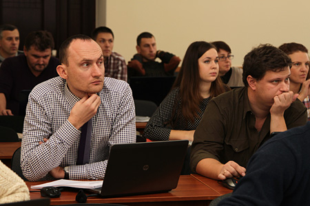
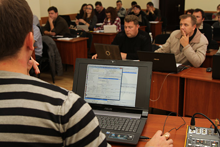
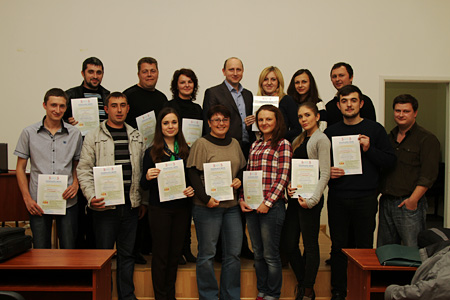
SEMINAR PHOTO MATERIALS